From Westlands to Kibera: How Nairobi's Daily Commute Weaves Together the City's Soul
Beyond the gridlock and matatu chaos, transport routes reveal the true character of neighbourhoods and the communities that define modern Nairobi.
Beyond the gridlock and matatu chaos, transport routes reveal the true character of neighbourhoods and the communities that define modern Nairobi.

Step onto Mombasa Road during the 7 a.m. rush, and you're not just witnessing traffic—you're watching Nairobi's neighbourhoods breathe. The 14-kilometre stretch from Westlands to the CBD pulses with the rhythm of a city in motion, each neighbourhood marking distinct cultural and economic territories that reveal themselves only to those paying attention to the journey itself.
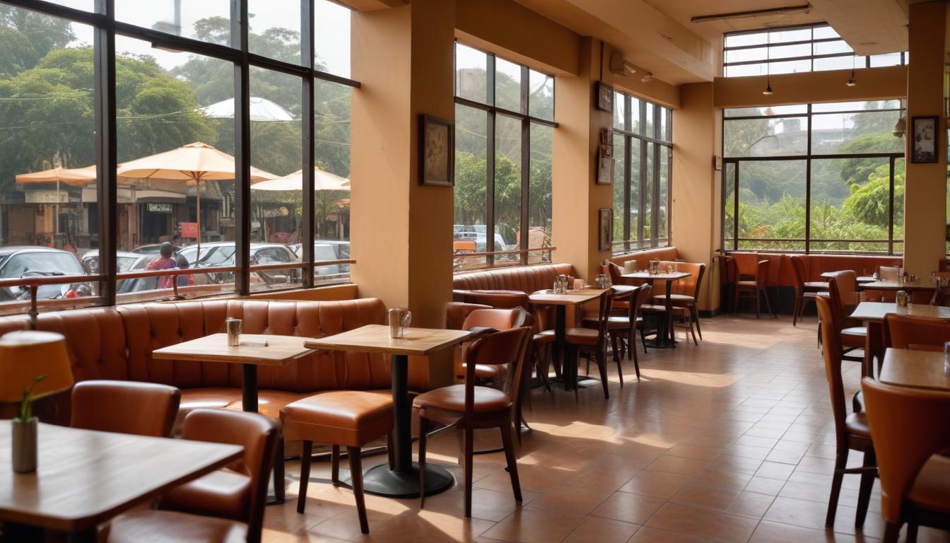
The morning commute from Westlands tells a story of gentrification and aspirational living. Glass-fronted office blocks give way to the quieter lanes around Karura Forest, where cyclists and joggers share the roads with businessman-laden Ubers. Here, the neighbourhood character is decidedly cosmopolitan—café culture thrives at spots along Mpesi Lane, and the transport infrastructure reflects investment: well-maintained roads, functional traffic lights, and commuters with predictable patterns.
But venture onto the Ngong Road corridor heading south, and the narrative shifts entirely. The Hurlingham to Kilimani stretch showcases a different Nairobi—one of established wealth and multigenerational families. Matatus here operate differently; routes are efficient, drivers know their regulars by name, and the 50-shilling fare feels like passage through a community rather than mere transportation. Street vendors along the route have claimed their spots for decades, their presence anchoring neighbourhood identity as surely as the landmark Nakumatt building once did.
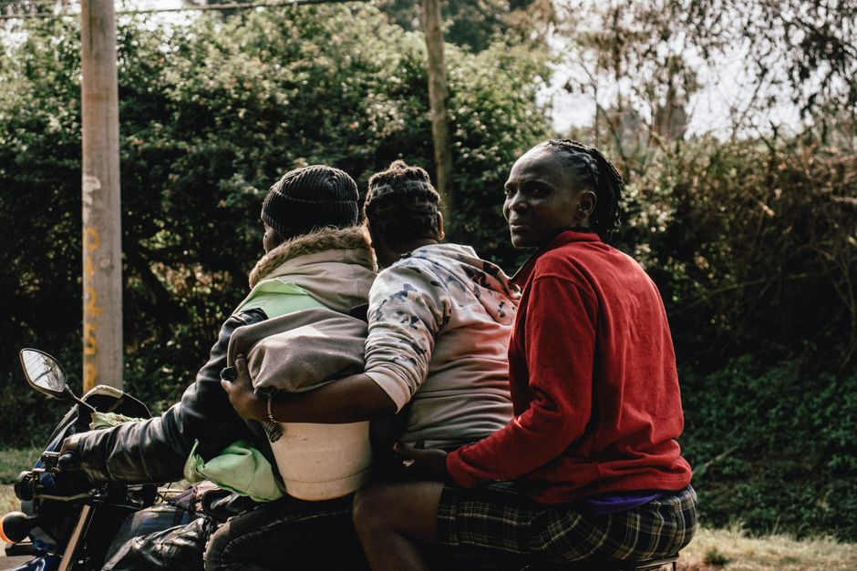
Cross into South B and C, and transport becomes an art form of density management. Here, matatu crews coordinate with precision born from necessity—the Nairobi-Kibera route carries an estimated 120,000 commuters daily across its various operators. The neighbourhood character emerges in micro-moments: the tea lady at the staging area who extends credit to regulars, the conductor who announces arrivals in three languages, the unwritten rules of how standing room is negotiated during peak hours.
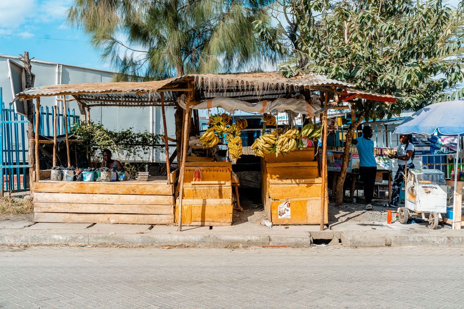
The real Nairobi soul, however, lives in these in-between spaces. It's in the informal economies that cluster around matatu termini—shoe shiners, phone-credit vendors, newspaper sellers—creating vibrant ecosystems that official city planners rarely acknowledge. On Landhies Road near Tom Mboya Street, transport nodes become cultural crossroads where Eastleigh's Somali community intersects with central business district workers and Parklands professionals.
Recent city data suggests over 70 percent of Nairobi's commuters rely on matatus and public transport. That figure represents millions of daily interactions, relationship-building, and neighbourhood reinforcement happening at 60 kilometres per hour. The commute isn't separate from neighbourhood life—it's the connective tissue that holds Nairobi's fractured geography together, transforming isolated suburbs into an interdependent whole.
This article was compiled by AI from the sources linked above and screened before publishing. See our editorial standards.
How does this story make you feel?
Spread the word
About this article
Published by The Daily Nairobi
Daily brief
Free, in your inbox before 7am. Weekdays.
More in lifestyle