news
Nairobi's Digital Land Records Plagued by Ghost Images, Lags Behind Lagos
Duplicate and corrupted property images are jamming Kenya's digitisation push, and Nairobi's fix is slower than rivals in Africa and beyond.
How we reported this
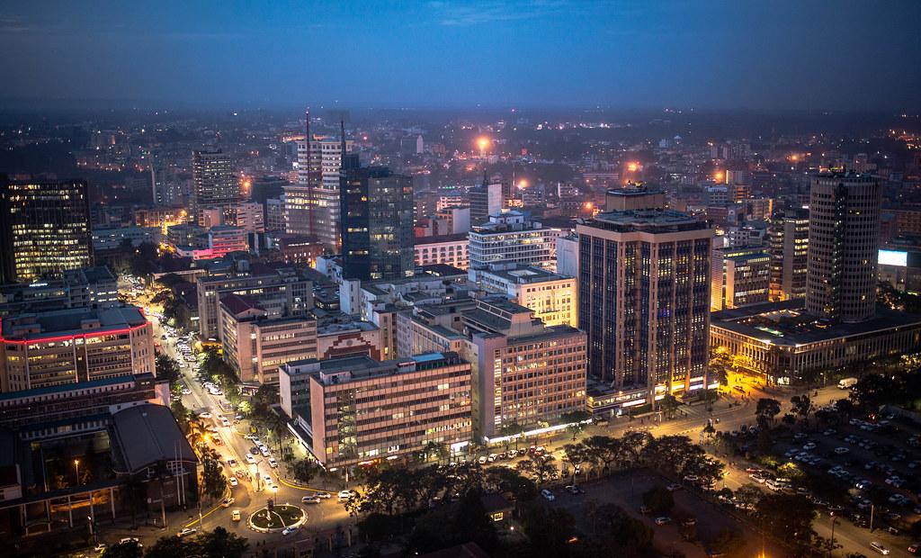
Kenya's national lands registry held more than 340,000 digitised title deed records by the close of 2025, according to the Ministry of Lands' own digitisation progress reports, but a significant share of those files carry duplicate, mismatched, or blank property images that render the digital record legally useless. The problem is not cosmetic. Surveyors, banks, and conveyancing lawyers working along Ngong Road and in Upperhill have flagged the same issue repeatedly: a title searches that should take 20 minutes stalls because the scanned parcel photograph attached to a deed belongs to a different plot entirely.
The timing matters for Nairobi. The city is mid-way through a broader infrastructure push that includes the Nairobi Metro commuter rail expansion and several informal settlement upgrading programmes in Mukuru and Mathare. Both depend heavily on clean land records, you cannot compensate a household you cannot formally locate on a map, and you cannot raise project finance if the collateral documents are corrupted. Fiscal pressure from the IMF austerity programme has simultaneously cut the budget available to fix the backlog, leaving the Ardhi House registry on Ngong Road carrying a growing queue of flagged files.
The National Lands Commission and the Nairobi City County have jointly run a duplicate-image replacement pilot since late 2024, targeting roughly 12,000 problem records in three sub-registries covering Kasarani, Embakasi, and Dagoretti. Under the pilot, field officers re-photograph disputed parcels using georeferenced mobile cameras and upload replacements through the ardhisasa platform, the government's own land management portal launched in 2021. Progress has been uneven. Kasarani's sub-registry, which covers some of the densest informal title zones around Roysambu, had cleared about 60 percent of its flagged files as of May 2026, according to county technical briefing documents reviewed by The Daily Nairobi. Embakasi, covering a larger and more contested land area, remained below 30 percent clearance.
How Nairobi Compares to Lagos and Dar es Salaam
Lagos is the relevant benchmark. Nigeria's commercial capital ran a comparable land records digitisation programme through its Land Bureau from 2019 onward, and by 2023 had processed over 800,000 certificates of occupancy. Lagos used a centralised image-verification algorithm, built by a local tech firm, to flag duplicates automatically before they entered the system, a front-end filter Nairobi has not yet deployed. Dar es Salaam took a different route: Tanzania's Ministry of Lands partnered with UN-Habitat in 2022 to run street-by-street parcel photography in Kinondoni district, producing a clean visual baseline before any digitisation began. The upfront cost was high but the duplicate rate in Kinondoni's records is now reportedly negligible. Nairobi digitised first and is correcting second, a sequencing problem that local technology firms in Westlands, including several Silicon Savannah startups that have pitched ardhisasa integration tools, say could have been avoided.
The Gen Z tax revolt of 2024 and subsequent budget cuts have made the calculus harder. The Ministry of Lands received a reduced development allocation in the 2025/26 budget cycle, constraining hardware procurement and the casual employment contracts used to staff the field photography teams. A three-month contractor payment delay in early 2026 temporarily halted re-photography work in Embakasi, according to procurement records posted on the Public Procurement Regulatory Authority's online portal.
What Needs to Happen Before This Gets Fixed
The most practical near-term intervention, as outlined in an April 2026 technical note from the Kenya Institute of Surveying and Mapping, is to deploy automated image-hash verification across ardhisasa, a tool that flags identical image files attached to different parcel numbers before they are validated. The institute placed the cost of software integration at roughly Ksh 4.2 million, a figure it described as achievable within existing ICT budget lines if reprioritised. Without that filter, every new batch of digitised records risks replicating the same problem.
For property buyers, the practical advice from conveyancers operating out of offices on Upper Hill Close and along Kimathi Street is unchanged: request a physical site visit and cross-check the parcel photograph on the ardhisasa printout against the actual GPS coordinates before any transaction is signed. Until Nairobi closes its clearance gap, a target the National Lands Commission has not publicly dated, the paper trail alone is not enough.