news
Digital Registry Errors Erase Nairobi Homes for Thousands of Residents
A wave of duplicate and replaced land parcel images in Kenya's national digital mapping system is stripping informal settlement dwellers of documented proof that their homes exist.
How we reported this
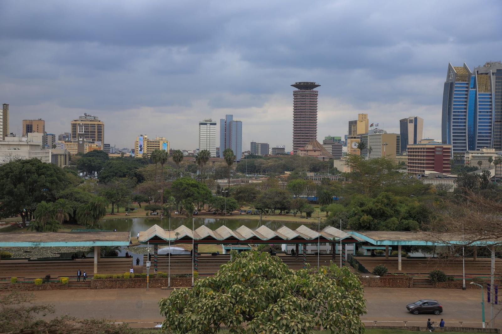
At least three community land documentation programmes operating across Nairobi's eastern informal settlements have reported a surge in complaints this year from residents whose plots no longer appear correctly on government digital mapping platforms, with parcel photographs replaced by duplicate images from entirely different locations. The errors are appearing inside Kenya's National Land Information Management System, known as NLIMS, which the Ministry of Lands has been rolling out as a central pillar of property digitalisation since 2022.
The timing cuts deep. Nairobi County and the national government are midway through the Mukuru Special Planning Area process, a flagship scheme to upgrade 600 acres of dense informal settlement between Industrial Area and South B. For residents hoping to leverage that plan to secure tenure, a corrupted or missing parcel record can mean the difference between formal recognition and demolition without compensation.
What Residents Are Experiencing on the Ground
In Mathare, along Juja Road in Starehe Sub-County, members of the Mathare Social Justice Centre began flagging the problem in January 2026, when households attempting to register structures through a County-supported enumeration exercise found their plot photographs had been swapped with images showing entirely different terrain, in some cases, what appeared to be agricultural land far outside Nairobi. Dozens of affected households are concentrated in Zone 4 of Mathare, one of the earliest sub-zones to undergo digital parcel mapping under the Kenya Informal Settlement Improvement Project, or KISIP, a World Bank-supported programme that has been running since 2011.
In Mukuru kwa Njenga, community paralegals affiliated with Pamoja Trust, a Nairobi-based housing rights organisation with offices on Mombasa Road, described a comparable pattern. Residents presenting at the Embakasi East Sub-County Lands Office with print-outs of their NLIMS parcel records found that the photographic evidence attached to their parcel numbers showed structures that were not theirs, sometimes images of plots kilometres away. Without a matching photograph, officers said, the record cannot be used to anchor a tenure claim.
The practical damage is immediate. A number of households reported that microfinance lenders, including some operating under the Kenya Mortgage Refinance Company framework, have suspended small home-improvement loan applications specifically because the collateral parcel records cannot be verified against images in the system. Loan amounts in Mukuru's upgrading zone have typically ranged from Ksh 50,000 to Ksh 250,000 for incremental construction, sums modest by city standards but life-changing for families building in stages.
The Systemic Weakness Behind the Errors
Kenya's Auditor-General flagged data integrity problems in NLIMS as recently as the 2023-24 financial year audit, noting inconsistencies in uploaded parcel data across multiple counties, though the audit did not specifically quantify the image duplication error rate. Technical staff familiar with the system have noted publicly, in conference settings, that the original NLIMS upload process involved bulk migration of scanned photographs from legacy paper files, a process known to produce mismatched metadata when file-naming conventions differ across county registries.
The problem lands at an awkward political moment. President William Ruto's administration has promoted NLIMS as a transparency and anti-corruption reform, tying it to broader pledges made under the IMF-supported fiscal programme. The Gen Z-led protests of 2024 and their aftermath created intense public scrutiny over whether government digitalisation projects deliver on their promises or simply move inefficiency onto new platforms.
Pamoja Trust and the Mathare Social Justice Centre are both advising affected residents to take three immediate steps: obtain a certified printout of their current NLIMS record from the relevant sub-county lands office; photograph their structure and surroundings with GPS-tagged images using a smartphone; and file a formal correction request through the Lands Ministry's recently established Digital Registry Complaints Desk, which accepts submissions at Ardhi House on Ngong Road. Community organisations are also urging residents to submit correction requests before August 31, 2026, which officials have indicated is an internal deadline for a planned NLIMS data reconciliation exercise. Missing that window, advocates warn, could leave disputed records frozen in the system until a further review cycle, which could be years away.