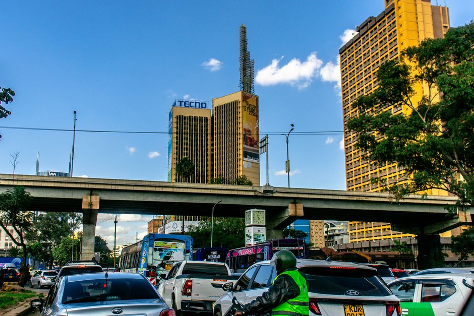
On any given morning in Kibera, a family of five shares 120 square metres of corrugated iron and timber. The monthly rent is Sh4,500. Water costs Sh800 more. A kilogramme of maize flour runs Sh120. For most households, the maths doesn't add up—yet somehow, 2.9 million Nairobians make it work, according to the most recent World Bank estimate.
But raw population figures tell only half the story. What matters to residents of Mathare, Kawangware, and the sprawl of settlements across Nairobi's eastern and southern edges is something far more granular: the precise cost of survival, block by block.
Last year, a collaborative survey by the Nairobi City County and grassroots organisations like Muungano wa Wanavijiji documented something revealing. In Kawangware's densely packed Zone A, 78 per cent of households earn less than Sh25,000 monthly. In Kibera's villages—Soweto East, Langa, Makina—electricity access stood at just 34 per cent, despite being a stone's throw from the affluent suburbs of Lavington and Kilimani.
These aren't abstract statistics. A mother selling vegetables at Wakulima Market in Eastleigh needs to know that transport costs consume 18 per cent of her daily takings. A carpenter in Huruma understands that informal housing upgrades—the kind promised repeatedly by City Hall—require an initial investment of Sh180,000 to Sh350,000 per unit, money few households can access.
The emerging shift is significant: communities are counting themselves. Participatory mapping initiatives across Mukuru, Kayole, and Mathare have engaged 45,000 residents in documenting their own neighbourhoods' conditions—housing density, water points, health facilities, security incidents. Data literacy workshops have trained 3,200 community researchers, many of them Gen Z activists who cut their teeth during the 2024 tax protests.
The City County's IMF-backed austerity programme has sharpened the urgency. With municipal budgets compressed, residents argue that hyperlocal data—not blanket policy—should guide investment in the Nairobi Metro commuter rail extensions, informal settlement upgrading schemes, and water infrastructure.
Councillors representing Starehe and Westlands have begun tabling these community-generated datasets in county assemblies. Whether this granular, resident-led counting translates into resource allocation remains uncertain. But the message is clear: Nairobi's poorest neighbourhoods are no longer content being defined by aggregate numbers. They're claiming the power to define themselves, figure by figure.
This article was compiled by AI and screened before publishing. See our editorial standards.