Nairobi's air pollution killed an estimated 5,800 residents in 2025, according to figures released this week by the Kenya National Environment Management Authority. That headline number, buried on page 47 of NEMA's mid-year State of the Environment bulletin, is the sharpest measure yet of what bad urban air actually costs this city — and it lands at a moment when the Ruto administration is under pressure to show results on climate pledges made at the 2023 Africa Climate Summit held at the Kenyatta International Convention Centre.
The bulletin, covering January through June 2026, is the most granular dataset NEMA has published on Nairobi specifically. It draws on 14 air quality monitoring stations installed across the city since 2022, including sensors at Ngong Road, along the Uhuru Highway corridor and at the Industrial Area junction on Enterprise Road. The timing matters because the government is six months from submitting Kenya's updated Nationally Determined Contribution to the United Nations Framework Convention on Climate Change — and Nairobi's urban data forms the backbone of the national numbers.
What the Data Actually Shows
The PM2.5 reading — fine particulate matter, the most dangerous kind — averaged 42.3 micrograms per cubic metre across the city in the first half of 2026. The World Health Organisation's safe threshold is 5 micrograms. On Mombasa Road near the Mlolongo interchange, sensors recorded peaks of 89 micrograms during the morning rush on at least 23 separate days between January and March. The dominant sources, according to the NEMA analysis: two-stroke and old diesel engines, which still account for roughly 61 percent of registered matatus operating out of Nairobi's Central Business District termini at Koja and River Road.
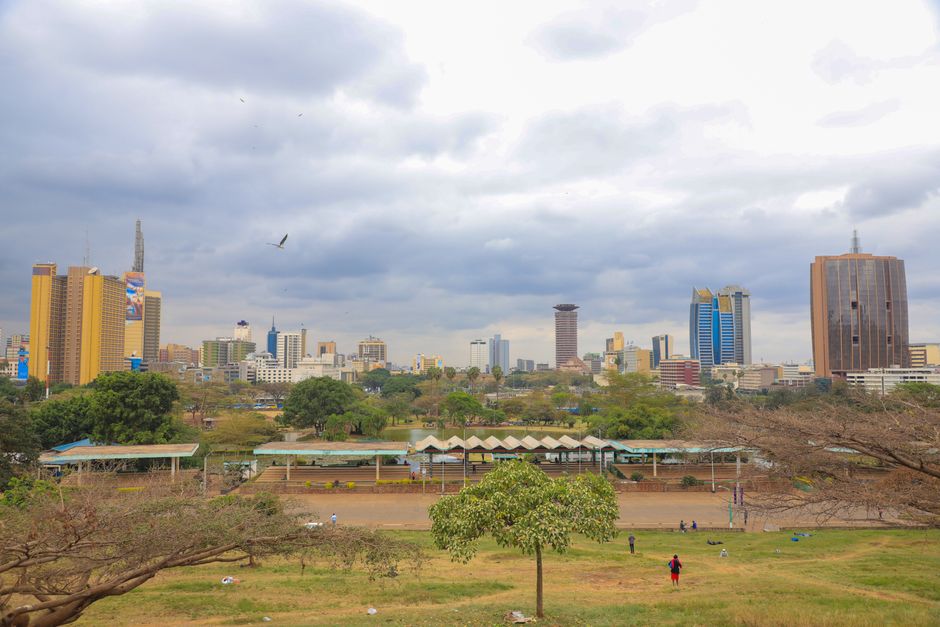
Tree cover data from the Kenya Forest Service shows a more optimistic picture, though the margin is thin. Nairobi County added approximately 1.2 million trees between July 2024 and June 2026 under the national tree-planting programme tied to the Finance Act amendments. Karura Forest, which covers 1,041 hectares along Limuru Road, recorded its highest canopy density measurement since satellite monitoring began in 2009. Uhuru Park's replanting programme, managed jointly by the Nairobi City County and the Kenya Wildlife Service, added 14,000 indigenous trees across 6.3 hectares since last October. Still, urban deforestation in the Embakasi and Ruai corridors offset roughly 30 percent of those gains, the report says.
The Nairobi River remains the data point that embarrasses every administration. Biochemical oxygen demand — the standard measure of organic pollution in waterways — along the stretch running through Gikomba Market and past Bahati estate registered at 340 milligrams per litre in May 2026. A river is considered severely polluted at anything above 10 milligrams. The Nairobi River Restoration Programme, a Sh4.2 billion initiative launched in 2021 with support from the European Union, has completed embankment works on 11 kilometres of the river's upper reaches but has not materially changed water quality in the lower sections that run through densely settled areas.
What Comes Next
NEMA has set a deadline of December 2026 for Nairobi County to submit a revised Urban Air Quality Action Plan, a requirement under the Environment and Land Court consent order issued in February following a petition brought by the Dandora Community Justice Centre over pollution in the Dandora estate area. Failure to file triggers automatic fines of Sh500,000 per day. The county has indicated it will lean heavily on the proposed Bus Rapid Transit corridor along Thika Superhighway and the expanded commuter rail network running from Syokimau station into the CBD as evidence of emission-reduction intent.
For residents, the practical upshot is this: the Nairobi Metropolitan Area Transport Authority is offering free air quality readings at its offices on Haile Selassie Avenue every Tuesday until September, as part of a public awareness push tied to the NEMA report. Children in schools along the Mombasa Road corridor, particularly in Mukuru kwa Njenga and Imara Daima, face the highest chronic exposure risk according to the bulletin's mapping data. Parents, health workers and local officials in those areas have been told to expect a targeted intervention programme from the Ministry of Environment before the end of the third quarter.